
Overview
Geomorphology is the scientific study of the origin and evolution of landforms, the topographic and bathymetric features generated by physical, chemical and biological processes at or near the Earth's surface. It is built on a few fundamental ideas: the contrast between endogenic and exogenic forces, the breakdown of rock by weathering, its removal by erosion, transport and deposition (together called denudation), and the long-term evolution of landscapes described by Davis's cycle of erosion.
Geomorphology and the nature of landforms
The scope of geomorphology
Geomorphology is the scientific study of the origin and evolution of the topographic and bathymetric features of the Earth, the landforms, generated by physical, chemical or biological processes operating at or near the surface.
Why it matters is that landforms are not fixed; they are the constantly changing record of competing earth processes. Reading a landscape correctly, knowing why a valley, a plateau or a plain looks as it does, is a foundation skill for physical geography.
What is the significance of geomorphology is that it links rock, climate and time. The same set of processes, acting in different combinations, explains every landform on Earth, from young mountains to worn-down plains.
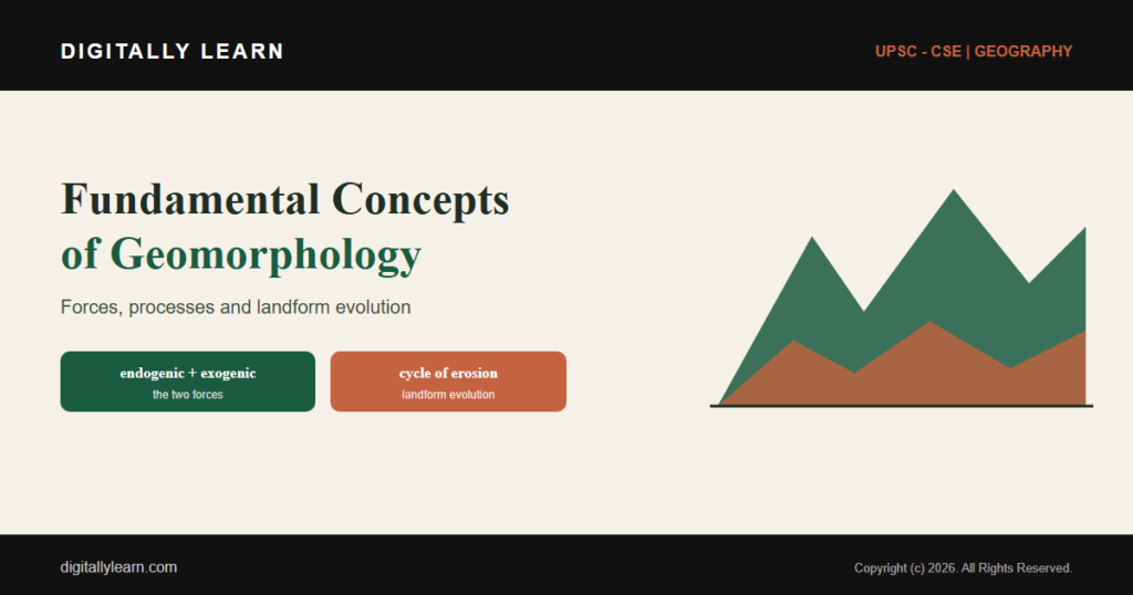
Endogenic and exogenic forces
All landforms arise from two opposing sets of forces. Endogenic forces act from within the Earth: tectonic uplift and subsidence, volcanism and earthquakes, and the folding and faulting of rock. They build relief, raising mountains and plateaus.
Exogenic forces act at the surface: weathering, erosion, transport and deposition by water, ice and wind. They wear relief down, carving valleys and spreading plains. Every landform reflects the running balance between this building up and wearing down.
Weathering: the breakdown of rock in place
Physical, chemical and biological weathering
Weathering is the breakdown of rock where it lies. It works in three ways. Physical weathering causes rock to disintegrate without any chemical change, through frost and freeze-thaw, repeated heating and cooling, and pressure release.
Chemical weathering occurs when water, oxygen, carbon dioxide and other substances react with rock to change its composition, through oxidation, carbonation, hydrolysis and solution. Biological weathering adds the work of living things, such as plant roots prising open cracks and organisms releasing acids.
Weathering versus erosion
A key distinction in geomorphology is between weathering and erosion. Weathering occurs in situ, on the spot, with little or no movement of the broken material; it simply prepares the rock.
Erosion, by contrast, involves the actual removal and transport of rock and mineral fragments by agents such as water, ice, snow, wind, waves and gravity. Weathering loosens the material, and erosion then carries it away.
Erosion, transport and deposition
The geomorphic sequence of denudation
The wearing down of the land follows an ordered sequence. Weathering produces loose material, erosion picks it up, transport carries it, and deposition lays it down again to build new landforms elsewhere.
Taken together, this whole wearing-down process is called denudation. Denudation of high, uplifted regions produces sediment that is transported and deposited within the landscape or off the coast, slowly lowering the land toward a common level.
The agents of erosion
Several agents carry out erosion, transport and deposition, each leaving its own family of landforms. The chief surface processes include running water, glacial ice, wind, waves and groundwater movement.
| Agent of erosion | Typical landforms |
|---|---|
| Running water (rivers) | valleys, meanders, floodplains, deltas |
| Glacial ice | U-shaped valleys, moraines, cirques |
| Wind (in deserts) | sand dunes, deflation hollows, yardangs |
| Waves (coasts) | cliffs, beaches, sea caves, stacks |
| Groundwater (limestone) | caves, sinkholes, karst features |
Each agent is strongest in a particular setting: rivers in humid lands, ice in cold highlands, wind in deserts and waves along coasts. Recognising the dominant agent is the first step in interpreting any landform.
Landform evolution: the cycle of erosion
Davis's geographical cycle of erosion
The most influential model of long-term landform change is the cycle of erosion, conceived by William Morris Davis in the 1880s while he studied the Appalachian mountains. It describes how an uplifted land surface is gradually worn down over time.
Davis identified three stages. In youth, rivers cut deep, V-shaped valleys with steep slopes; in maturity, valleys widen and relief is greatest; and in old age, the land is reduced to a low, rolling peneplain, with occasional residual hills standing above it.
Base level, and alternative models
Central to the cycle is the idea of a base level, the lowest level to which a land surface can be eroded, usually sea level. Erosion follows the uplift of land above this base level and ends, if conditions allow, in the formation of a peneplain.
Davis's scheme was later challenged. Walther Penck offered an alternative in which relief depends on the changing ratio of uplift to erosion, and Lester King proposed a further cycle in the 1960s, based on the retreat of slopes and the spread of pediplains.
Significance and applications
Why these concepts guide landform interpretation
These fundamentals turn a landscape into something that can be read. Knowing the balance of endogenic and exogenic forces, the kind of weathering at work, and the dominant agent of erosion lets a geographer explain why a region looks as it does.
They also bring order to the huge variety of landforms. Fluvial, glacial, aeolian, coastal and karst features each follow from a particular process, so the same simple framework accounts for very different scenery across the world.
Geomorphology in practice and in India
The subject is also intensely practical. Understanding weathering and slope processes helps predict landslides, plan dams and roads, manage river basins and coasts, and explain how fertile soils and mineral deposits form.
India displays the whole range of these processes: the young, rising Himalaya reflect powerful endogenic uplift, the vast Gangetic plain is built by river deposition, the Thar shows wind action, and long coastlines record the work of the sea.
How geomorphology appears in the UPSC exam
Fundamental geomorphology in GS and Geography Optional
Geomorphology is a foundation for both GS Paper I physical geography and the Geography optional. The high-yield concepts are few and worth mastering.
- Endogenic forces build relief; exogenic forces wear it down.
- Weathering breaks rock in place; erosion transports it away.
- Denudation is the full sequence of weathering, erosion, transport and deposition.
- Davis’s cycle of erosion runs from youth through maturity to a peneplain.
A strong answer defines the process precisely, names the agent or force responsible, and links it to specific landforms, the analytical habit this article builds across its sections.
Prelims MCQ practice
Each question below tests one specific concept on the topic. Click to reveal the answer and a full option-wise explanation.
Q1. Which of the following is an endogenic (internal) geomorphic force?
- Weathering
- River erosion
- Tectonic uplift
- Wind deposition
Show answer and explanation
Answer: Tectonic uplift
Explanation.
Tectonic uplift is driven from within the Earth and is endogenic. Weathering, river erosion and wind deposition are exogenic surface processes. Hence (c).
Q2. The breakdown of rock in place, without any transport of the material, is called:
- Erosion
- Weathering
- Deposition
- Denudation
Show answer and explanation
Answer: Weathering
Explanation.
Weathering occurs in situ, with little or no movement, which distinguishes it from erosion, which transports material. Hence (b).
Q3. With reference to weathering, consider the following statements:
- Physical weathering breaks rock apart without changing its chemical composition.
- Oxidation and carbonation are forms of chemical weathering.
- Plant roots can contribute to biological weathering.
Which of the statements given above is/are correct?
- 1 and 2 only
- 2 and 3 only
- 1 and 3 only
- 1, 2 and 3
Show answer and explanation
Answer: 1, 2 and 3
Explanation.
All three are correct: physical weathering is disintegration without chemical change, oxidation and carbonation are chemical weathering, and roots contribute to biological weathering. Hence (d).
Q4. The geographical 'cycle of erosion', describing landscapes evolving from youth to old age, was proposed by:
- Walther Penck
- William Morris Davis
- Lester King
- Alfred Wegener
Show answer and explanation
Answer: William Morris Davis
Explanation.
William Morris Davis conceived the cycle of erosion in the 1880s. Penck and King later proposed alternative models. Hence (b).
Q5. In Davis's cycle of erosion, the low, gently rolling surface produced in the final 'old age' stage is called a:
- Plateau
- Peneplain
- Pediment
- Horst
Show answer and explanation
Answer: Peneplain
Explanation.
The end product of Davis's cycle is a peneplain, a low surface of subdued relief with occasional residual hills. Hence (b).
Q6. Consider the following statements about geomorphic processes:
- Denudation includes weathering, erosion, transport and deposition.
- Glacial action typically produces U-shaped valleys.
- The base level of erosion is usually taken as sea level.
Which of the statements given above is/are correct?
- 1 and 2 only
- 2 and 3 only
- 1 and 3 only
- 1, 2 and 3
Show answer and explanation
Answer: 1, 2 and 3
Explanation.
All three are correct: denudation is the whole wearing-down sequence, glaciers carve U-shaped valleys, and base level is generally sea level. Hence (d).
Sources and Further Reading
Editorial Disclaimer
This article explains the fundamental concepts of geomorphology for UPSC preparation, drawing on standard physical-geography sources. Definitions and models reflect the cited authorities.