
Overview
A time zone is a region that keeps a single, uniform clock time, set as a fixed offset from Coordinated Universal Time (UTC); the system exists because the Earth's rotation makes the Sun cross each meridian at a different moment, so local time changes steadily with longitude.
How time is tied to longitude
Longitude and local time
The Earth turns once on its axis in roughly 24 hours, carrying every meridian of longitude past the Sun in turn. Because of this steady spin, the moment of local noon, when the Sun stands highest, arrives at a different instant at each longitude.
The arithmetic is simple. The Earth covers 360 degrees in 24 hours, so 15 degrees of longitude equal one hour, and a single degree equals four minutes of time. Places to the east see the Sun earlier, so their local clocks read later.
If every town kept its own local time, clocks would differ from one place to the next and timetables would be chaos. The answer is standard time, a single shared clock for a wide region, which is the foundation of the modern time-zone system.
To picture it, when clocks at the Prime Meridian read noon, India is already in mid-afternoon while the eastern Pacific is still in the previous night. Each place keeps the clock that matches the Sun in its own sky, which is exactly why a shared global standard became necessary.
The global framework of time
The Prime Meridian, GMT and UTC
Measuring longitude needs an agreed starting line. The Prime Meridian, defined as 0 degrees, passes through Greenwich in London, which served as the world standard from 1884. Longitudes are then counted east and west from this line up to 180 degrees.
The mean solar time at Greenwich was called Greenwich Mean Time, or GMT. Since the 1980s the world has kept time by Coordinated Universal Time, or UTC, an atomic timescale tied to the same meridian, and every time zone is now defined as an offset from UTC.
Greenwich became the world's reference in 1884, when the leading nations agreed on a common starting line for longitude and time. UTC later refined this, holding atomic accuracy while staying within a second of mean solar time at Greenwich through occasional leap seconds.
Standard time and the world's time zones
A time zone is a band that keeps one uniform clock, set as a whole-hour or half-hour offset from UTC. The world is divided into about 24 zones, each notionally 15 degrees wide, although their boundaries bend to follow national borders.
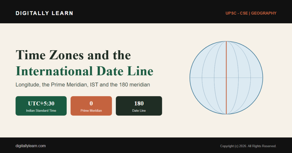
Offsets run from UTC minus 12 in the mid-Pacific to UTC plus 14 in the far western Pacific. A few zones use half-hour or quarter-hour offsets, such as India at UTC plus 5:30 and Nepal at UTC plus 5:45, so that standard time stays close to local solar time.
Zone boundaries follow politics as much as geography. Large countries may keep several zones or, like China, impose one clock across a vast span for unity, while small neighbours may differ by only half an hour. The map's straight 15-degree columns are an ideal that real borders constantly bend.
| City | Country / meridian | Offset from UTC |
|---|---|---|
| London | United Kingdom (Greenwich, 0 degrees) | UTC 0 (GMT) |
| New York | United States (Eastern) | UTC minus 5 |
| New Delhi | India (82.5 degrees E) | UTC plus 5:30 |
| Kathmandu | Nepal | UTC plus 5:45 |
| Beijing | China (single zone) | UTC plus 8 |
| Tokyo | Japan | UTC plus 9 |
The International Date Line
Travelling right around the world, the hourly offsets add up to a full day, so a line is needed where the calendar date changes. The International Date Line runs roughly along the 180 degree meridian, down the middle of the Pacific Ocean.
Crossing the line westward you add a day, and crossing it eastward you subtract one. The line is not straight: it zig-zags around island groups so that each country keeps a single date, and it is a cartographic convention, not fixed by international law.
Because the line is a convention, nations can move it. Several Pacific states have shifted the Date Line so that all their islands share one calendar day, rather than being split across two dates. Such adjustments show the line follows human decisions, not a fixed natural boundary.
Time in India
Indian Standard Time
India keeps a single clock called Indian Standard Time, set at UTC plus 5:30. It is fixed by the standard meridian of 82.5 degrees east, which passes near Mirzapur in Uttar Pradesh, roughly midway across the country.
The time is maintained by the National Physical Laboratory in New Delhi, with the historic Allahabad Observatory, using atomic clocks. Choosing one central meridian gives the whole nation a common, convenient standard time instead of many local times.
A single national time replaced the older local times of the colonial era, when cities such as Bombay and Calcutta kept their own clocks minutes apart. One standard simplified railways, the telegraph and administration across the subcontinent, which is why a single meridian was adopted for the whole country.
One country, one clock: the single-time-zone debate
India stretches more than 29 degrees of longitude, from Gujarat in the west to Arunachal Pradesh in the east, so the Sun rises and sets nearly two hours earlier on the eastern border than on the western one.
This gap fuels a long debate about a second time zone. The tea gardens of Assam already run on Chaibagan time, an hour ahead of IST, and supporters of an eastern zone argue it would save daylight and energy, while critics fear confusion and risks to railway safety.
The arguments line up on two sides:
- For a second zone: clocks in the east would match daylight, cutting evening energy use.
- For: people in the north-east currently work and sleep out of step with the official clock.
- Against: a boundary between two zones invites errors, especially for railways and aviation.
- Against: one clock is simpler for administration, broadcasting and national unity.
So far the single zone has prevailed, with the convenience and safety of one national clock outweighing the daylight that a second zone might save in the east.
Daylight, technology and the measurement of time
Daylight Saving Time
Many countries shift their clocks forward in summer under Daylight Saving Time, gaining an hour of evening daylight to save energy and lengthen the usable day, then move back to standard time in autumn.
India does not use daylight saving. Lying near the tropics, it has only a small seasonal change in day length, so moving the clock would bring little benefit, and a country with a single time zone gains less from the practice than higher-latitude states.
Daylight saving is contested elsewhere too. Critics note that the twice-yearly clock change disrupts sleep and complicates schedules, and that its energy savings are modest in a heavily electrified world. Several jurisdictions are now reconsidering it, while most tropical countries never adopted it at all.
Atomic clocks, GPS and precise time
Precise time underpins modern technology. Atomic clocks, which count the vibrations of atoms, define the second and keep UTC accurate to billionths of a second, far beyond the older astronomical methods of timekeeping.
Satellite navigation depends on this directly. A GPS receiver fixes its position by comparing time signals from several satellites, so an error of a millionth of a second would misplace it by hundreds of metres. Accurate time is the hidden backbone of navigation, finance and communication.
The bond between time and place is old. The 18th-century longitude problem, finding a ship's east-west position at sea, was solved by the marine chronometer, a clock accurate enough to carry reference time aboard. Today's atomic timekeeping and satellite navigation are the direct descendants of that breakthrough.
How time zones appear in the UPSC exam
What the exam tests
In the Civil Services Examination, time zones are a Prelims favourite. Questions test the conversion of longitude into time, the role of the Prime Meridian, the position of the International Date Line, and the meridian that fixes Indian Standard Time.
A reliable method is to convert each degree of longitude into four minutes of time, then add going east and subtract going west. Remembering that India's standard meridian is 82.5 degrees east and that IST is UTC plus 5:30 answers many direct questions.
Prelims MCQ practice
Each question below tests one specific concept on the topic. Click to reveal the answer and a full option-wise explanation.
Q1. With reference to Indian Standard Time (IST), consider the following statements:
- IST is set at UTC plus five hours and thirty minutes.
- The standard meridian of India is 82.5 degrees east, passing near Mirzapur.
- Indian Standard Time is maintained by the National Physical Laboratory.
Which of the statements given above is/are correct?
- 1 and 2 only
- 2 and 3 only
- 1 and 3 only
- 1, 2 and 3
Show answer and explanation
Answer: 1, 2 and 3
Explanation.
Statement 1 is correct: IST is UTC plus 5:30. Statement 2 is correct: the standard meridian is 82.5 degrees east, near Mirzapur in Uttar Pradesh. Statement 3 is correct: the National Physical Laboratory keeps IST with atomic clocks. Hence all three are correct.
Q2. With reference to longitude and time, consider the following statements:
- The Earth rotates through 15 degrees of longitude in one hour.
- One degree of longitude corresponds to four minutes of time.
- Places to the east of a given meridian have an earlier (behind) clock time.
Which of the statements given above is/are correct?
- 1 and 2 only
- 2 and 3 only
- 1 and 3 only
- 1, 2 and 3
Show answer and explanation
Answer: 1 and 2 only
Explanation.
Statement 1 is correct: 15 degrees of longitude equal one hour. Statement 2 is correct: one degree equals four minutes. Statement 3 is wrong: places to the east see the Sun earlier, so their clocks are ahead (later), not behind. Hence 1 and 2 only.
Q3. Which one of the following best describes the Prime Meridian?
- The line of 0 degrees latitude passing through the Equator
- The line of 0 degrees longitude passing through Greenwich
- The 180 degree meridian in the mid-Pacific
- The 82.5 degrees east meridian of India
Show answer and explanation
Answer: The line of 0 degrees longitude passing through Greenwich
Explanation.
The Prime Meridian is the line of 0 degrees longitude passing through Greenwich. Option (a) describes the Equator (0 degrees latitude). Option (c) is the International Date Line. Option (d) is India's standard meridian. Hence the line of 0 degrees longitude through Greenwich.
Q4. With reference to the International Date Line, consider the following statements:
- It runs roughly along the 180 degree meridian.
- It is a perfectly straight line fixed by international law.
- A traveller crossing it westward advances the date by one day.
Which of the statements given above is/are correct?
- 1 and 2 only
- 1 and 3 only
- 2 and 3 only
- 1, 2 and 3
Show answer and explanation
Answer: 1 and 3 only
Explanation.
Statement 1 is correct: the line follows roughly the 180 degree meridian. Statement 2 is wrong: it zig-zags around island groups and is a cartographic convention, not fixed by international law. Statement 3 is correct: crossing westward adds a day. Hence 1 and 3 only.
Q5. With reference to time in India, consider the following statements:
- India spans more than 29 degrees of longitude from west to east.
- The Sun rises about two hours earlier in the east than in the west.
- India observes Daylight Saving Time in summer.
Which of the statements given above is/are correct?
- 1 and 2 only
- 2 and 3 only
- 1 and 3 only
- 1, 2 and 3
Show answer and explanation
Answer: 1 and 2 only
Explanation.
Statement 1 is correct: India spans over 29 degrees of longitude. Statement 2 is correct: the Sun rises nearly two hours earlier in the east. Statement 3 is wrong: India does not observe Daylight Saving Time. Hence 1 and 2 only.
Q6. If two places differ in longitude by 30 degrees, what is the difference in their local times?
- 30 minutes
- 1 hour
- 2 hours
- 4 hours
Show answer and explanation
Answer: 2 hours
Explanation.
One degree of longitude equals four minutes of time, so 30 degrees equal 120 minutes, which is 2 hours. Equivalently, 15 degrees equal one hour, so 30 degrees equal two hours. Hence 2 hours.
Sources and Further Reading
- Wikipedia: Indian Standard Time
- Wikipedia: International Date Line
- Wikipedia: Time zone
- Wikipedia: Prime meridian
- Wikipedia: Longitude
- Survey of India (national mapping and reference)
- Department of Science and Technology (two-time-zone feasibility study)
- ISRO: NavIC and satellite-based timing and navigation
- NCERT: Geography (fundamentals of physical geography)
- India Meteorological Department
Editorial Disclaimer
This article explains time zones and the International Date Line for UPSC preparation, drawing on standard geographical and timekeeping sources. Figures and offsets reflect the cited authorities. Readers should consult the linked sources for the precise legal boundaries of individual time zones.