Seabed 2030 Project – Bathymetric data map of Ocean Floor | UPSC – IAS
The U.N.-backed project Seabed 2030 is pooling data from the countries and companies to create a map of the entire ocean floor.
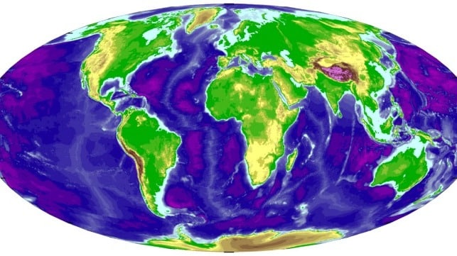
About Seabed 2030 Project | UPSC – IAS
It aims to bring together all available bathymetric data (measures of depth and shape of the seafloor) to
produce the definitive map of the world ocean floor by 2030 and make it available to all.
It is a collaborative project between the Nippon Foundation and General Bathymetric Chart of the Oceans (GEBCO).
The project was launched at the United Nations (UN) Ocean Conference in June 2017 and is aligned with the UN’s Sustainable Development Goal #14 to conserve and sustainably use the oceans, seas and marine resources.
Central to the Seabed 2030 strategy is the creation of Regional Data Assembly and Coordination Centres (RDACCs), with each having a defined ocean region of responsibility. A board will be established for each region consisting of local experts to identify existing bathymetric data, and to help coordinate new bathymetric surveys.
Significance Seabed Mapping Project | UPSC – IAS
Bathymetric data from the deep ocean is critical for studying marine geology and geophysics. For example, Bathymetric data obtained in 1950s and ‘60s led to modern understanding of Plate tectonics.
The shape of the seabed is a crucial parameter for understanding ocean circulation patterns as well as an important variable for accurately forecasting tsunami wave propagation.
Bathymetric data illuminates the study of tides, wave action, sediment transport, underwater geo—hazards, cable routing, resource exploration, extension of continental shelf (UN Law of the Sea treaty issues), military and defence applications.
In coastal regions, bathymetry underpins marine and maritime spatial planning and decision-making, navigation safety, and provides a scientific basis for models of storm surges, while also informing our understanding of marine ecosystems and habitats.
Detailed knowledge of bathymetry is a fundamental prerequisite for attaining an improved understanding of the subsea processes.
Challenges | UPSC – IAS
Even using the RDACC model, the goal of mapping the entire world ocean is a significant challenge, and can only be accomplished if new field mapping projects are initiated.
Crowdsourcing bathymetric data from fishing vessels and recreational small boats etc. represents one approach for gathering information in shallower water regions, but is less efficient in deeper waters due to depth limitations of standard echo sounders.
Deep water mapping remains a major challenge due to the cost involved and the limited number of available research vessels that are equipped with modern deep, water multibeam sonars.
A Way forward | UPSC – IAS
Reach out to the national and international funding agencies, to get adequate funding to support Seabed 2030 vision.
Keeping up with technology overtime to make sure that processes, products and services are forward looking and well-positioned to make use of new technologies as they become available.
Given the sheer size of the ocean the Seabed 2030 goals can only be achieved through international coordination and collaboration with respect to data acquisition, assimilation and compilation.


 Project | UPSC - IAS")


 | UPSC - IAS")


