Role of Space Technology in Border Management | UPSC IAS
Sealing the entire border is a significant challenge mainly due to variations in the terrain and topography like mountain ranges, sea, tropical forest or climate factors, including desert or thinly populated regions. Space technology provides one of the more effective means to overcome it.
Significance of Space Technology
Timely Information: The information received through various satellites are used by various agencies including the security establishment. For instance, weather satellites can provide timely information about topographic features and weather conditions, which are critical to military and para-military operations.
Intelligence inputs and Surveillance: through Remote sensing satellites, radar satellites and satellites with synthetic aperture radar (SAR) sensors which are capable of providing day and night all-terrain and all-weather inputs.
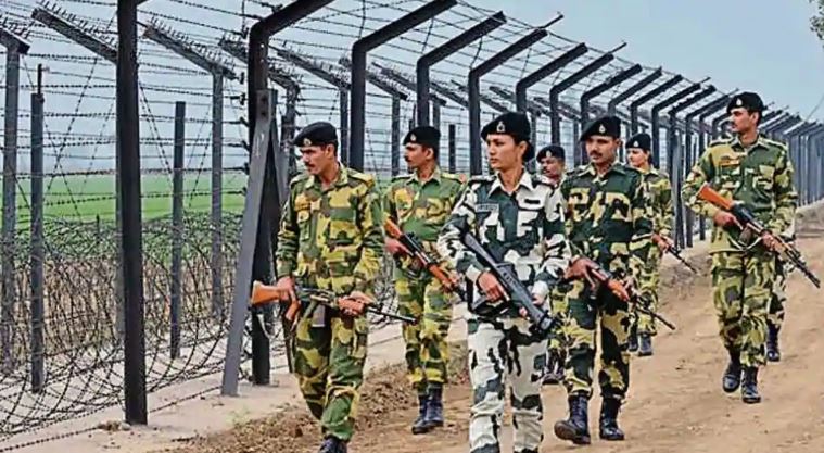
Checking infiltration: by using low earth orbit surveillance satellites, which would in turn enable the blocking of infiltrators through suitable force deployment. In this regard, the active deployment of Medium Altitude Long Endurance (MALE) Unmanned Aerial Vehicles (UAVs) and High Altitude Long Endurance (HALE) UAVs will improve India’s surveillance and reconnaissance capabilities.
Defending the invisible: Earth observation satellites provide detailed images of hot spots where border crossings peak. India uses the RISAT and Cartosat spacecraft to capture still images as well as high-resolution video of the nation’s disputed borders.
Coordination between agencies: While defence forces already use space technology, border forces depend on intelligence shared by central agencies like IB, RAW and National Technical Research Organisation. They also face poor communication issues in areas like Ladakh, Sikkim, Arunachal Pradesh and Kashmir Valley. With satellite technology border security authorities can exchange information or access critical data from headquarters, border checkpoints or on the-move border patrol units.
Deployment of Central Armed Police Forces (CAPFs) in remote areas will be also coordinated through satellite communications. Indian Regional Navigation Satellite System (IRNSS)-based GPS will provide navigation facilities for operational parties in high altitude, remote and difficult borders, and Maoist-affected areas.
Military Satellites in India
GSAT 7 is the first dedicated military communication satellite built by ISRO that provide services to the Indian defence forces with the main user being the Indian Navy.
GSAT-7A is an advanced military communications satellite meant primarily for the Indian Air Force with Indian Army using 30% of capacity.
Other military satellites are -Microsat-R, Cartosat 1 and 2 series, Risat-1 and Risat 2.


 mission | NASA | UPSC - IAS")


